Thunderstorm Warnings Follow on the Heels of Scorching Temperatures
June heat isn’t letting anyone get too comfortable this week. The Met Office keeps rolling out thunderstorm warnings just as some parts of the UK are sweating through near-record summer temperatures, with the mercury climbing close to 34°C in certain regions. These warnings cover busy swaths of England, Northern Ireland, and South Wales, as well as southeastern England and East Anglia as the weekend kicks off.
The first wave of warnings starts in southwest England and South Wales, stretching from midnight through early Thursday afternoon. Another alert holds Northern Ireland in its grip for almost the full day, from early morning to late evening. By Friday, the storm threat marches east, landing on the doorsteps of East Anglia and the southeast, right when everyone thought the heatwave was the whole story. This sudden snap from settled, sunny weather to potentially turbulent storms has a lot of people double-checking their weekend plans.
What’s Behind the Bumpy Weather?
Earlier this week, a stable zone of high pressure locked in wall-to-wall sunshine and soaring temperatures across much of the country. But that calm pattern didn’t last. Warmer air—with just enough moisture—has blown in from the south, stirring up much less predictable and much more dramatic weather. This is a classic recipe for thunderstorms: hot, muggy conditions topped off by an unstable atmosphere.
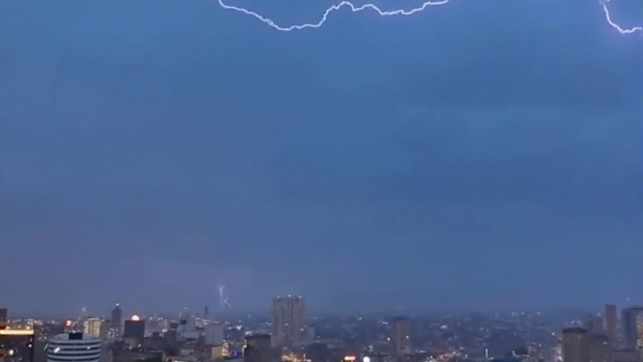
Northern England looks like ground zero for these storms as the weekend arrives. The Met Office warns of big lightning displays, the chances of large hailstones that can dent cars and smash garden plants, and wind gusts strong enough to rattle windows and test loose branches. That means commuters, festival-goers, and anyone planning a Saturday picnic could face sudden downpours, tricky driving, or even localised power hiccups if storms strike as forecasted.
Still, the Met Office is quick to remind everyone: thunderstorm warnings cover wide areas, but not every single town or village inside those zones will get hit. Some places might stay mostly dry while others—just a few miles away—are under a deluge. For many, these warnings are a heads-up, not a guarantee, so staying plugged into weather updates is wise as plans unfold. It’s possible some smaller rivers and drains could struggle with the abrupt heavy rain, raising the odds of brief flooding or disruption to travel corridors, mainly in areas where showers linger the longest.
If you’re out and about, smart advice is to expect the unexpected. Bring a raincoat, think twice before parking under big trees, and watch the skies—because British weather this weekend might change in a blink, swapping sun for storms with zero warning.