Hurricane Erin Powers Up, Leaving the Caribbean Reeling
It’s not every year you see a hurricane ramp up to Category 4 before September even hits, but that’s exactly what’s going down with Hurricane Erin. With maximum sustained winds at a brutal 130 mph, Erin has already marked its spot as the first major hurricane of 2025 in the Atlantic. Its path so far? A trail of flooding, power failures, and infrastructure headaches for the Caribbean, especially across Puerto Rico and the Virgin Islands.
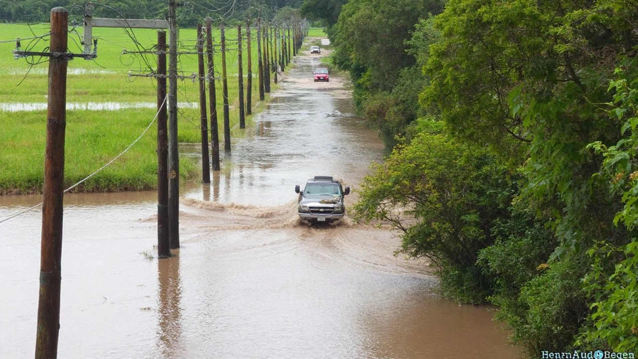
Beaches that should’ve been filled with tourists now look more like raging rivers. Puerto Rico, already battered by previous storms, took a direct hit from Erin’s outer bands over the weekend. In just five hours, parts of the island saw more than 178mm of rainfall—basically, torrential downpours that turned city streets and rural communities into flash-flooded danger zones. As if that wasn’t enough, over 80,000 people sat in the dark without power as crews scrambled to restore the grid. And there’s no sigh of relief yet: flood watches remain active, and emergency officials aren’t taking any chances this time around.
Virgin Islands didn’t fare much better, as sheet after sheet of rain forced authorities to keep flood watches on high alert. For many residents, this storm feels less like an isolated event and more like déjà vu, thanks to aging infrastructure still in recovery mode from previous weather disasters.
U.S. East Coast on High Alert as Erin Approaches
Is the United States off the hook? Not quite. While forecasts suggest that Erin will probably avoid making a direct landfall, its influence stretches far beyond the eye of the storm. Right now, the hurricane is spinning some 695 miles southwest of Bermuda and about 805 miles south-southeast of Cape Hatteras, North Carolina, creeping northwest at 10 mph. But the real headline for the U.S. East Coast is this: dangerous surf, huge waves, and epic rip currents are coming.
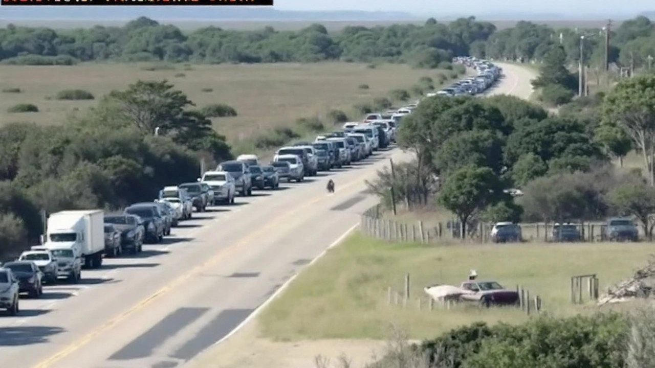
North Carolina’s Outer Banks are in the hot seat. Local officials have called for mandatory evacuations in some coastal communities, bracing for surf that could top out at 20 feet in places. Coastal flood watches, tropical storm watches, and storm surge alerts are all flashing. Emergency crews, already stretched thin, are rolling out evacuation orders and prepping shelters, while locals keep a nervous eye on their phones for updates.
Marine warnings haven’t been this dire in a while, with the National Hurricane Center flagging hazardous conditions as far north as New Jersey. Even folks hundreds of miles from the storm’s center are feeling the impact as beaches up and down the coast warn against swimming. Lifeguards are out in force, and seasoned surfers say even they’re sitting this one out.
Erin’s journey has been dramatic: The storm grew from a tropical wave off Cape Verde, spinning up on August 11. It sputtered as a tropical storm before exploding to Category 5 on August 16, with savage 160 mph winds and a central pressure as low as 915 mb. After a brief dip to Category 3 during an eyewall replacement, Erin is now back up as a Category 4 beast—and still dangerous.
The National Hurricane Center’s forecast tracks Erin turning north and then northeast between Thursday and Friday, expected to pass between the East Coast and Bermuda. Even so, it’ll keep its muscle, fed by warm Atlantic waters and favorable upper winds.
The Bahamas, Turks and Caicos, and nearby islands aren’t out of danger either. Tropical storm alerts stay active, with another possible 6 inches of rain and damaging wind gusts ahead. The storm already battered the eastern and central Bahamas with flashes of dangerous weather on Monday, and officials say more could be on the way.
As Erin barrels along, emergency management agencies are in nonstop coordination mode. The U.S. Army Corps of Engineers is stepping up, especially in the Caribbean, where rebuilding efforts after past storms still lag. Massive projects like the $1.6 billion Rio Puerto Nuevo initiative and the $500 million Río de La Plata project in Puerto Rico are in the works to help communities bounce back and prepare for storms like Erin moving forward.
With several days of uncertainty still ahead, everyone along the Atlantic basin is staying alert—and hoping the worst is finally behind them.


Write a comment
Your email address will not be published. Required fields are marked *